• Welcome to League Of Reason Forums! Please read the rules before posting.
    If you are willing and able please consider making a donation to help with site overheads.
    Donations can be made via here

Dry World

blood_pardon

New Member
arg-fallbackName="blood_pardon"/>
400_F_26379640_1nc9arqSrmexUdjeeq020tIjdQvzo7Vg.jpg


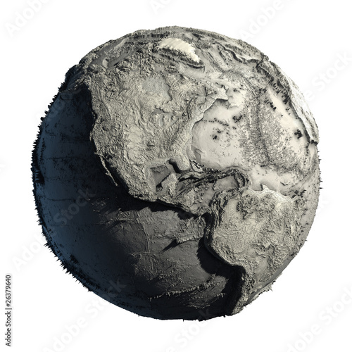
This is Earth without its oceans.
 
arg-fallbackName="RigelKentaurusA"/>
Master_Ghost_Knight said:
It is cool, but it creeps me out not being accurate. Gives a false impression. But yeah, still cool.

It's obviously inaccurate, in much the same way a political map is inaccurate, there are no lines dividing nations on the ground. That's not the point of it, however. The exaggerated elevation map projected onto a sphere highlights the non-spheracity of the Earth, just like a political map highlights the boundaries of nations.
 
arg-fallbackName="nasher168"/>
I've seen such a map before on a table made of plastic. Totally exaggerated of course, but quite cool to look at.
Of course, if we're going to be pernickity (sp?) about heights, then this map is probably more accurate:
dry-earth11.jpg

...but it doesn't really look quite as cool.
 
arg-fallbackName="Anachronous Rex"/>
That image seems to assume that a dry Earth would have a similar coloration to the planet Mars.

Do we know if this is justified? I'm genuinely curious.

I mean, there are obvious other problems with the image (what with the tropical forests still being there and the like), but I assume that is probably just because removing and re-texturing those areas would be far too troublesome.

Not that any of these pics aren't awesome, btw.
 
Back
Top